An IIT Bombay study using satellite data shows rising greenhouse gas levels over Delhi and Mumbai and also identifies emission hotspots in these cities.

earth-observation-images

Mumbai

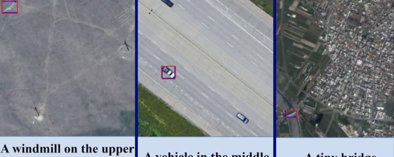
IIT Bombay researchers build a new model, named AMVG, that bridges the gap between how humans prompt and how machines analyse satellite or remote sensing imagery.

Bengaluru

The NASA-ISRO Satellite Aperture RADAR (NISAR) mission is an Earth observation satellite jointly built by the Jet Propulsion Lab (JPL) at NASA and ISRO, India. The mission would enable detailed observation of earth’s land and ice mass at an unprecedented scale and precision.

The satellite, set to launch in early 2024, is at ISRO’s Satellite Integration and Test Establishment at Bengaluru, where it just passed a key test.

Bengaluru

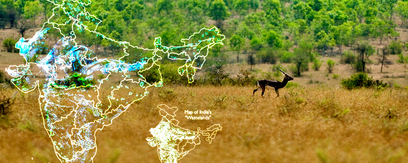
Research Matters caught up with Dr M D Madhusudan, one of the researchers involved in developing a high-resolution map of Open Natural Ecosystems (ONEs) in India, to gain insights into their work. Here are excerpts from the interview.

Search Research Matters