An IIT Bombay study using satellite data shows rising greenhouse gas levels over Delhi and Mumbai and also identifies emission hotspots in these cities.

Remote Sensing

Ranchi

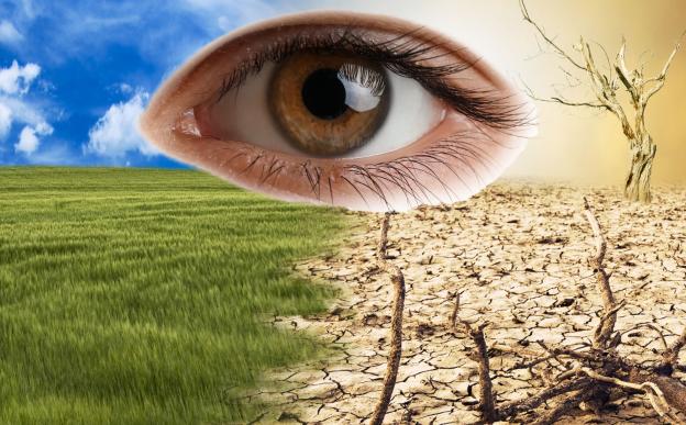
New research using Earth Observation (EO) satellite data and Geographic Information Systems (GIS) provides a comprehensive map of desertification vulnerability across Rajasthan, highlighting critical areas and key environmental and human factors driving land degradation.

Mumbai

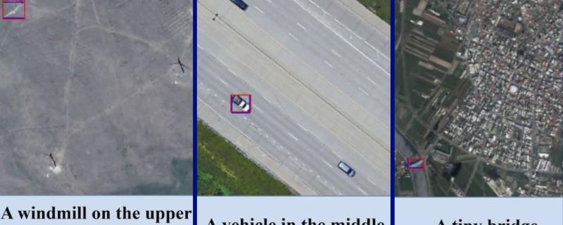
IIT Bombay researchers build a new model, named AMVG, that bridges the gap between how humans prompt and how machines analyse satellite or remote sensing imagery.

Kharagpur

Researchers found that economic inequality, linked to higher crime rates in India, can be measured by the brightness of city lights as seen from space based satellites.

Mumbai

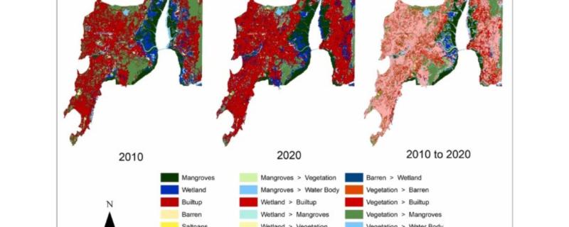
Researchers from IIT Bombay used LISS IV satellite imagery to map the Land use land cover changes to the Mumbai and Palghar mangroves and wetland areas.

Mumbai

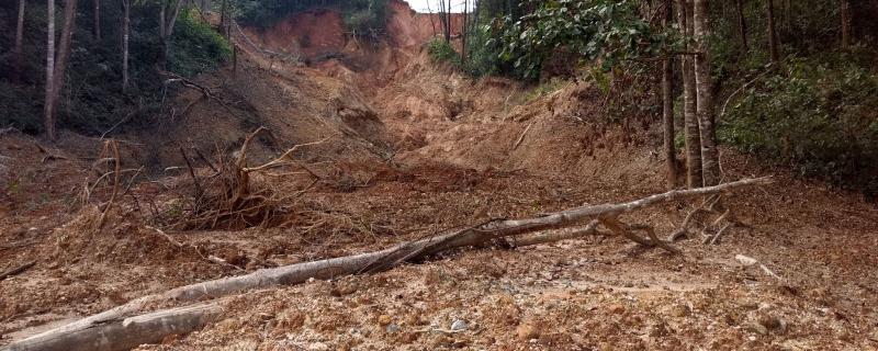
The first-of-a-kind study has used remote sensing data to quantify long-term soil losses across the entire Western Ghats region.

Mumbai

A new algorithm removes effects of unintended motion from videos shot with small robots or drones

Mumbai

Researchers use radar data from satellites to estimate parameters that determine the growth of soy and wheat.


Search Research Matters