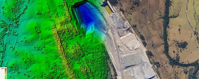
Researchers set out to create a detailed map of the land in the Anantapur district of Andhra Pradesh to determine where land degradation occurred and how severe it was in different areas.
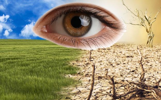
A new review reveals that rising global temperatures, increased pollution, and extreme weather events are driving a global surge in eye diseases, disproportionately affecting vulnerable communities and challenging healthcare systems.
Roorkee/


