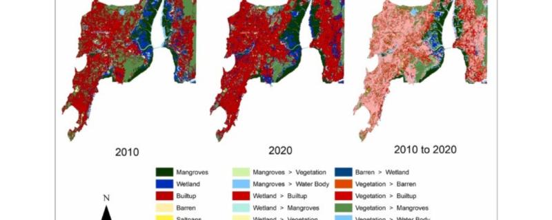
Researchers from IIT Bombay used LISS IV satellite imagery to map the Land use land cover changes to the Mumbai and Palghar mangroves and wetland areas.
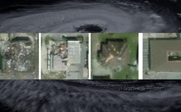
IIT Bombay’s new deep learning framework, named SpADANet, enhances damage classification accuracy using limited labels across multiple hurricanes.
Mumbai/

