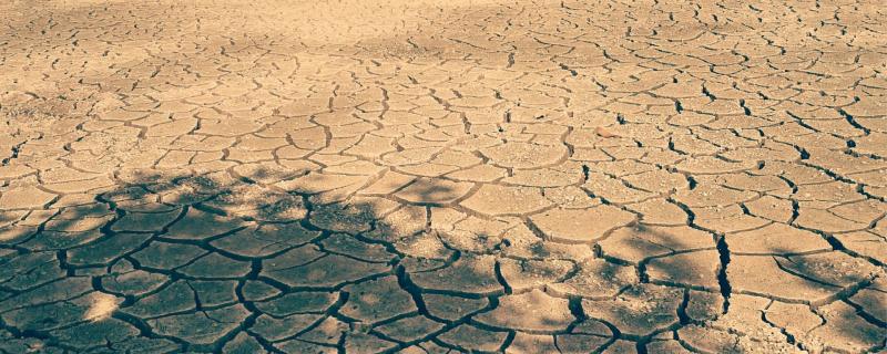
Researchers set out to create a detailed map of the land in the Anantapur district of Andhra Pradesh to determine where land degradation occurred and how severe it was in different areas.
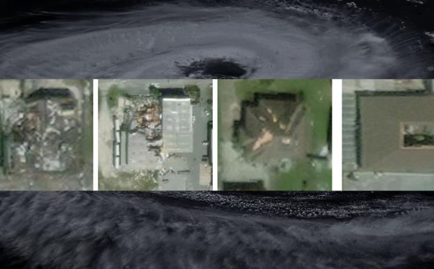
IIT Bombay’s new deep learning framework, named SpADANet, enhances damage classification accuracy using limited labels across multiple hurricanes.
Mumbai/

