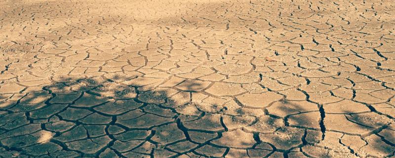
New research using Earth Observation (EO) satellite data and Geographic Information Systems (GIS) provides a comprehensive map of desertification vulnerability across Rajasthan, highlighting critical areas and key environmental and human factors driving land degradation.
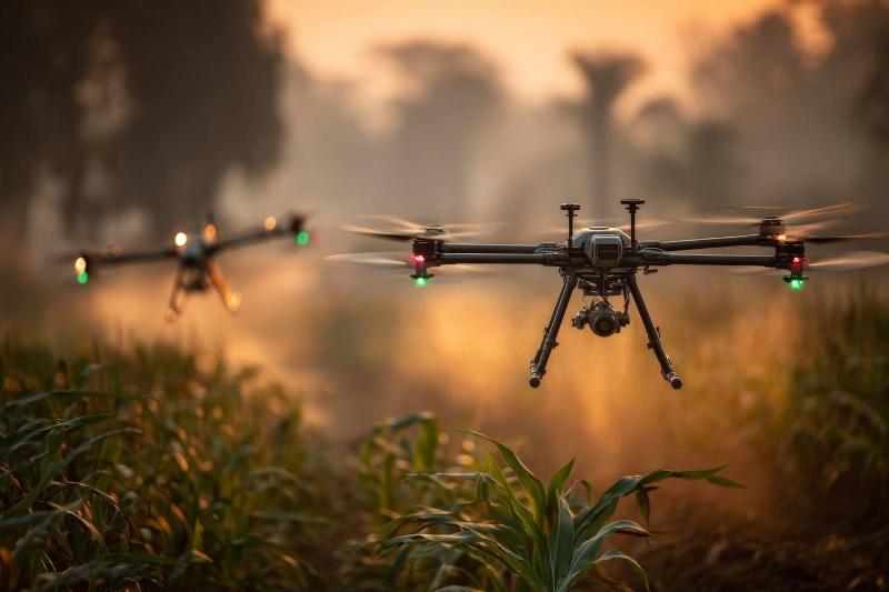
Novel scheme by IIT Bombay researchers to control drones can enable complex formation flying using only camera data, without GPS or inter-drone communication.
Mumbai/


