Researchers set out to create a detailed map of the land in the Anantapur district of Andhra Pradesh to determine where land degradation occurred and how severe it was in different areas.
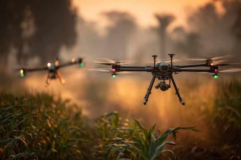
Novel scheme by IIT Bombay researchers to control drones can enable complex formation flying using only camera data, without GPS or inter-drone communication.
Mumbai/

