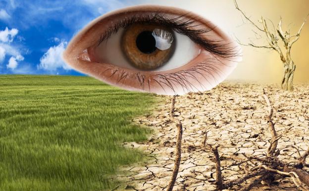
An IIT Bombay study using satellite data shows rising greenhouse gas levels over Delhi and Mumbai and also identifies emission hotspots in these cities.

Drone

Mumbai

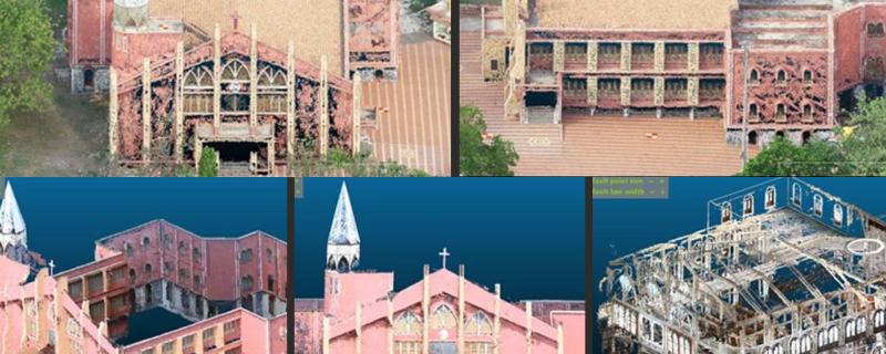
Researchers develop an affordable and highly accurate method for creating detailed three-dimensional maps of heritage structures using Unmanned Aerial Vehicles (UAVs) and terrestrial photogrammetry.

Mumbai

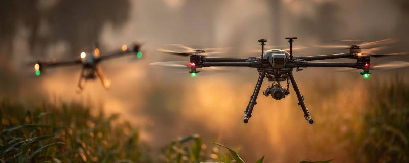
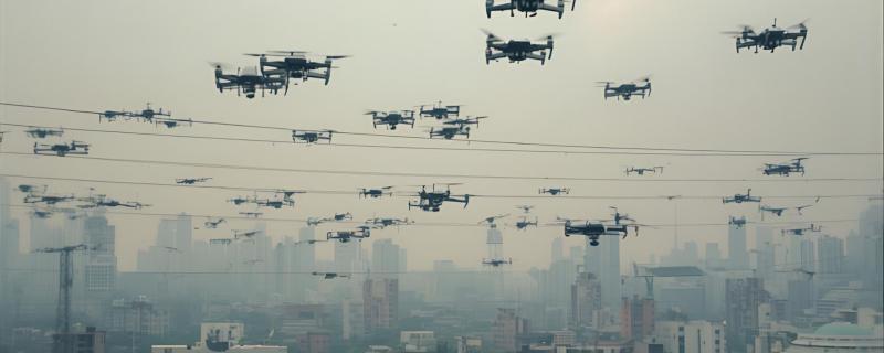
IIT Bombay researchers have developed a novel control system for drones, enabling complex formation flying using only camera data, without the need for GPS or inter-drone communication.

Bengaluru

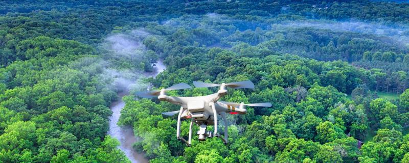
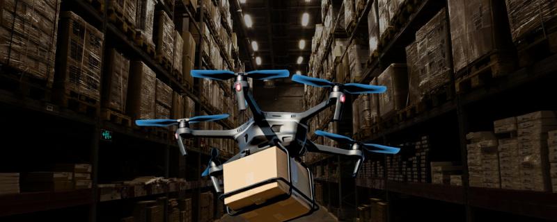
A new algorithm slashes drone delivery times by considering the limited battery life of drones and their capacity to carry only lightweight parcels.

Bengaluru

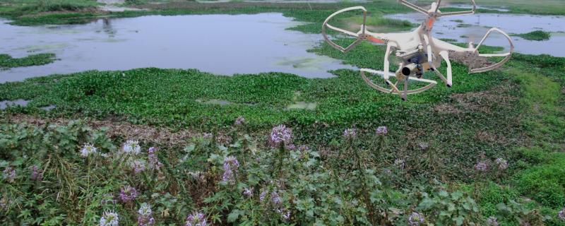
Researchers use drones and 3D modeling to accurately track the growth of Victoria amazonica without getting their feet wet.

Search Research Matters