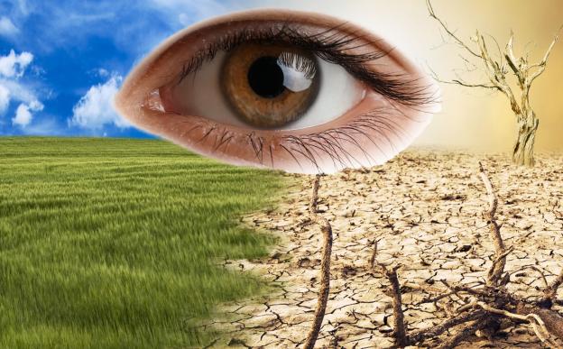
New research using Earth Observation (EO) satellite data and Geographic Information Systems (GIS) provides a comprehensive map of desertification vulnerability across Rajasthan, highlighting critical areas and key environmental and human factors driving land degradation.
A new review reveals that rising global temperatures, increased pollution, and extreme weather events are driving a global surge in eye diseases, disproportionately affecting vulnerable communities and challenging healthcare systems.
Roorkee/

