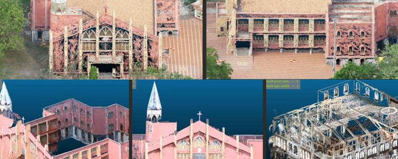
Researchers develop an affordable and highly accurate method for creating detailed three-dimensional maps of heritage structures using Unmanned Aerial Vehicles (UAVs) and terrestrial photogrammetry.
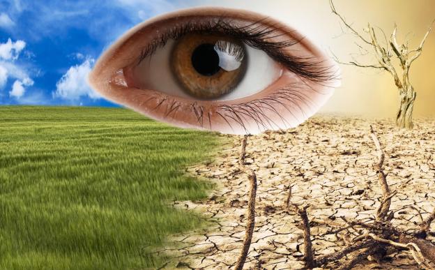
A new review reveals that rising global temperatures, increased pollution, and extreme weather events are driving a global surge in eye diseases, disproportionately affecting vulnerable communities and challenging healthcare systems.
Roorkee/

