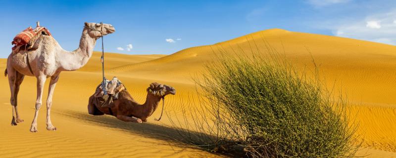
IIT Palakkad study shows how different indices used to predict drought combined with effects fof climate change can lead to different climate predictions for the future

Remote Sensing

Mumbai

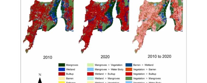
Researchers from IIT Bombay used LISS IV satellite imagery to map the Land use land cover changes to the Mumbai and Palghar mangroves and wetland areas.

Mumbai

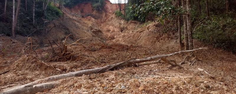
The first-of-a-kind study has used remote sensing data to quantify long-term soil losses across the entire Western Ghats region.

Mumbai

A new algorithm removes effects of unintended motion from videos shot with small robots or drones

Mumbai

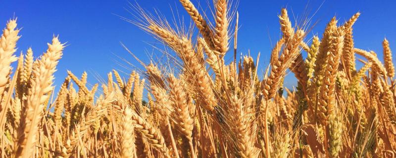
Researchers use radar data from satellites to estimate parameters that determine the growth of soy and wheat.