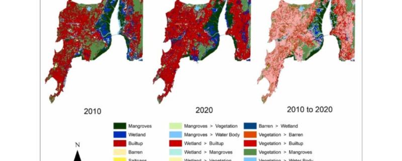
Researchers from IIT Bombay used LISS IV satellite imagery to map the Land use land cover changes to the Mumbai and Palghar mangroves and wetland areas.
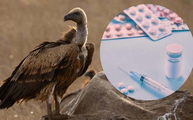
Despite successful bans on the veterinary drug diclofenac in Nepal and parts of India, a decade-long undercover investigation reveals that toxic alternatives like flunixin and nimesulide are rapidly replacing it, posing a renewed existential threat to the region’s critically endangered vulture populations.
Mumbai/


